A hotspot map is a means of showing the distribution of crime or disorder as a continuous density surface. Hotspot maps are used to help direct and prioritise the focus of crime and disorder reduction resources to particular areas.
The process of creating a hotspot map from your base incident data can be achieved using standard functionality of SIS, but the Crime AnalySIS toolkit simplifies and automates the task.
The first step in creating a hotspot map is to create a filter to limit the map to a single incident type or group.
Creating, saving and recalling filters is described in the Filtering the Data topic and is exactly the same as creating filters for periodic charts.
A hotspot map can be generated for the entire dataset, or restricted to the selected set of data based upon a spatial constraint.
Hotspot maps are not normally time-related, therefore there is no need to specify the date/time column in your data.
Click the Create Hotspots… button:
The Hotspots dialog will be displayed:
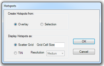
Create Hotspots from:
To create a hotspot of the entire overlay accept the default Overlay setting.
If you want to create a hotspot map of data within a specific area, select the incidents within the area first, using the standard selection tools in Map Modeller, then select the Selection option. This option will be disabled if there is no current selection.
Display Hotspots as:
Scatter Grid - All incident points which pass the filter are used to create a scatter grid, aggregating incidents into cells. The cell size is set to 1/64 of the geographical width of the data.
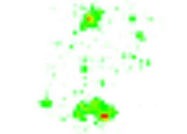
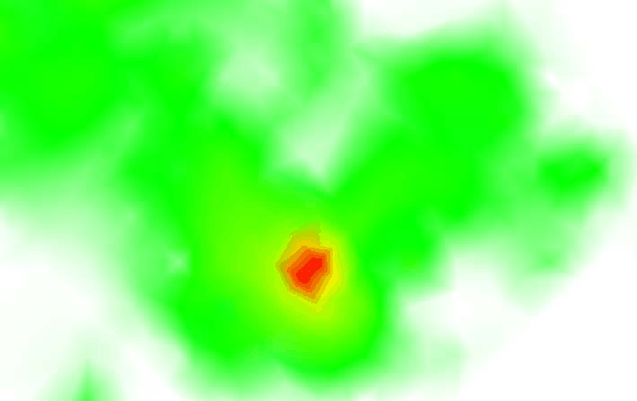
The following example shows a filter to create a hotspot map of burglaries of dwellings:
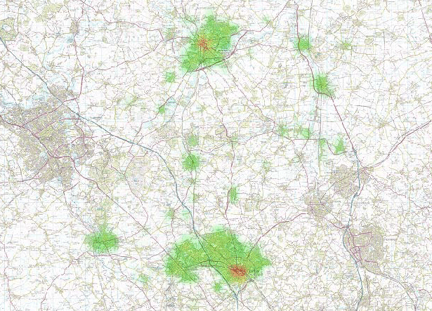
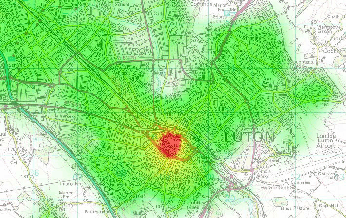
The same example with mapping overlaid:
TIN - You will need to select the required resolution from the Resolution drop-down box; Low, Medium or High.
The hotspot map is created as an additional overlay with a colourset applied shading in white to red. The display order of this overlay should be changed so that it does not obscure the base mapping.
Example of a TIN with Resolution set to Low:
Example of a TIN with Resolution set to High:

High resolution with mapping overlaid:
Send comments on this topic.
Click to return to www.cadcorp.com
© Copyright 2000-2017 Computer Aided Development Corporation Limited (Cadcorp).